Explore DJI enterprise drone product line and find the best solution for your business
Filter:
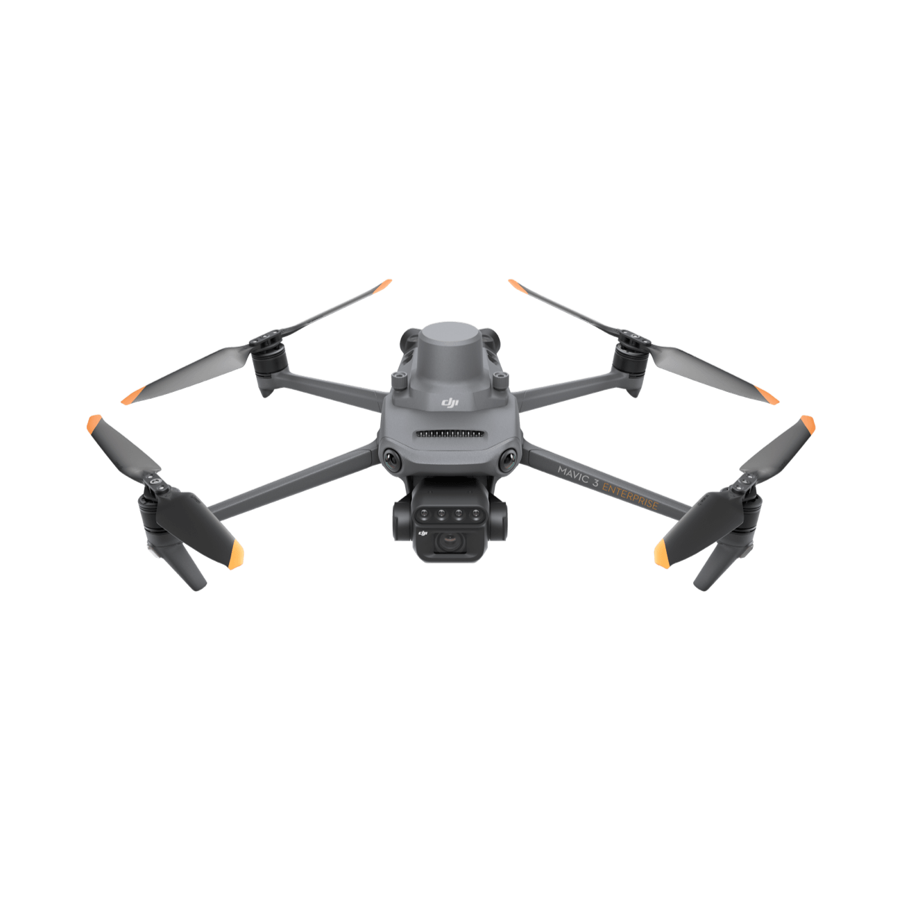
Inspection
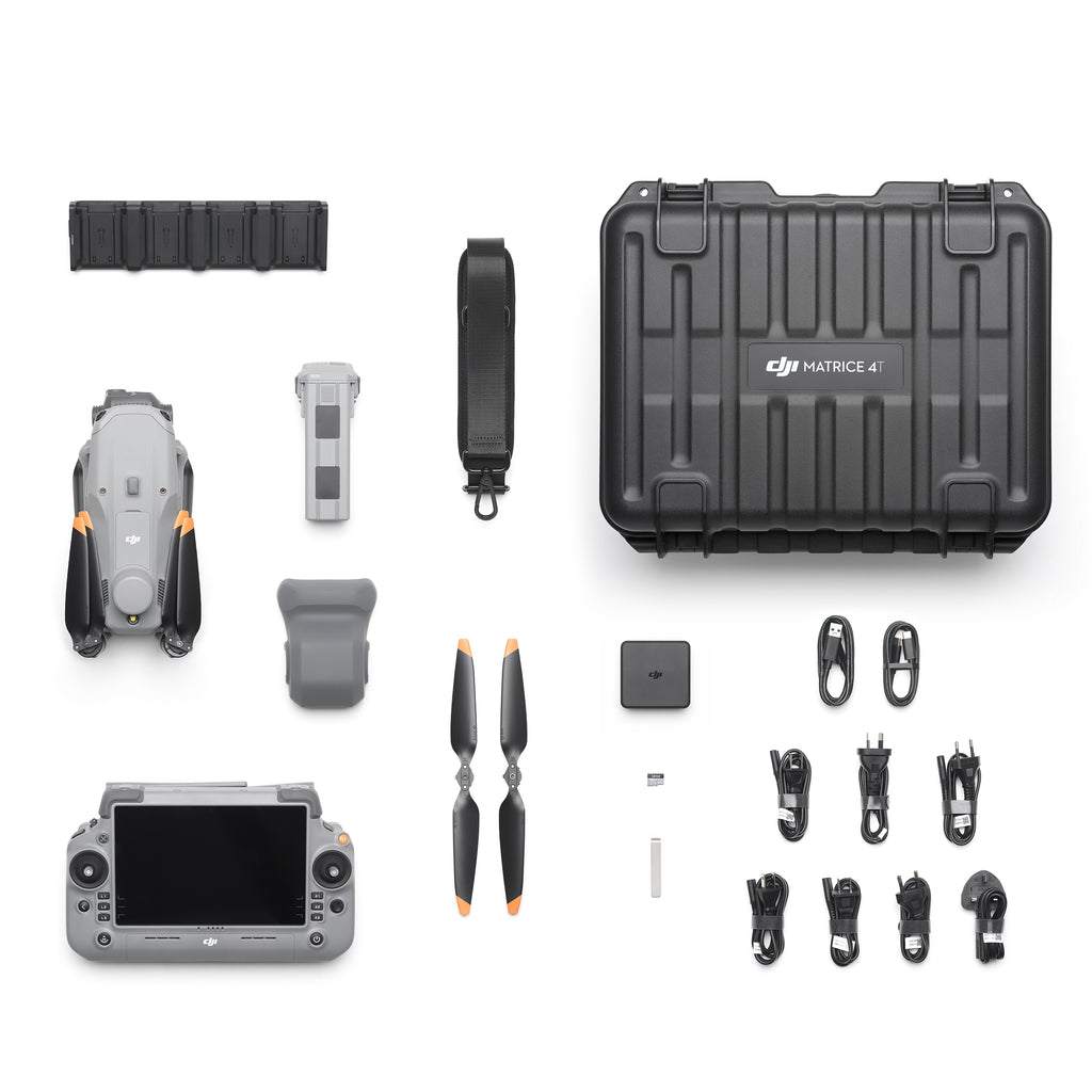
DJI Matrice 4T
Thermal inspection drone for the age of intelligent flight, equipped with best-in-class thermal sensor, laser rangefinder, and smart detection system. 49-minute flight time, 15-second takeoff, designed for firefighting and industrial inspection.
Surveying
DJI Matrice 4E
High-precision surveying drone equipped with large 4/3-inch sensor and mechanical shutter. 49-minute flight time, designed for terrain mapping and precision agriculture with smart detection and measurement capabilities.
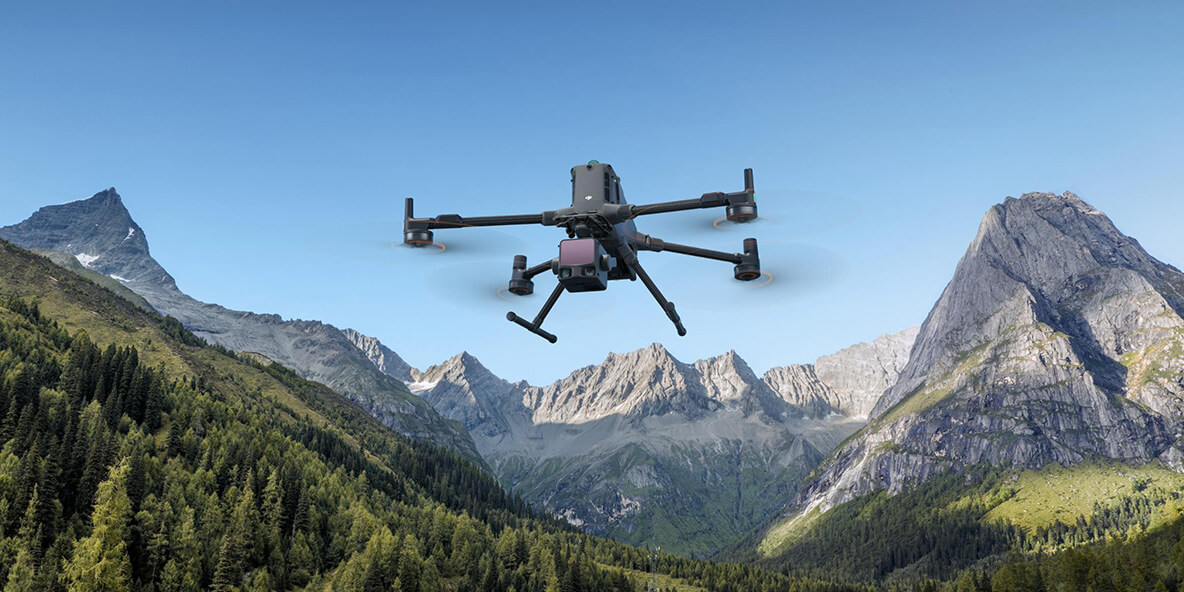
Inspection
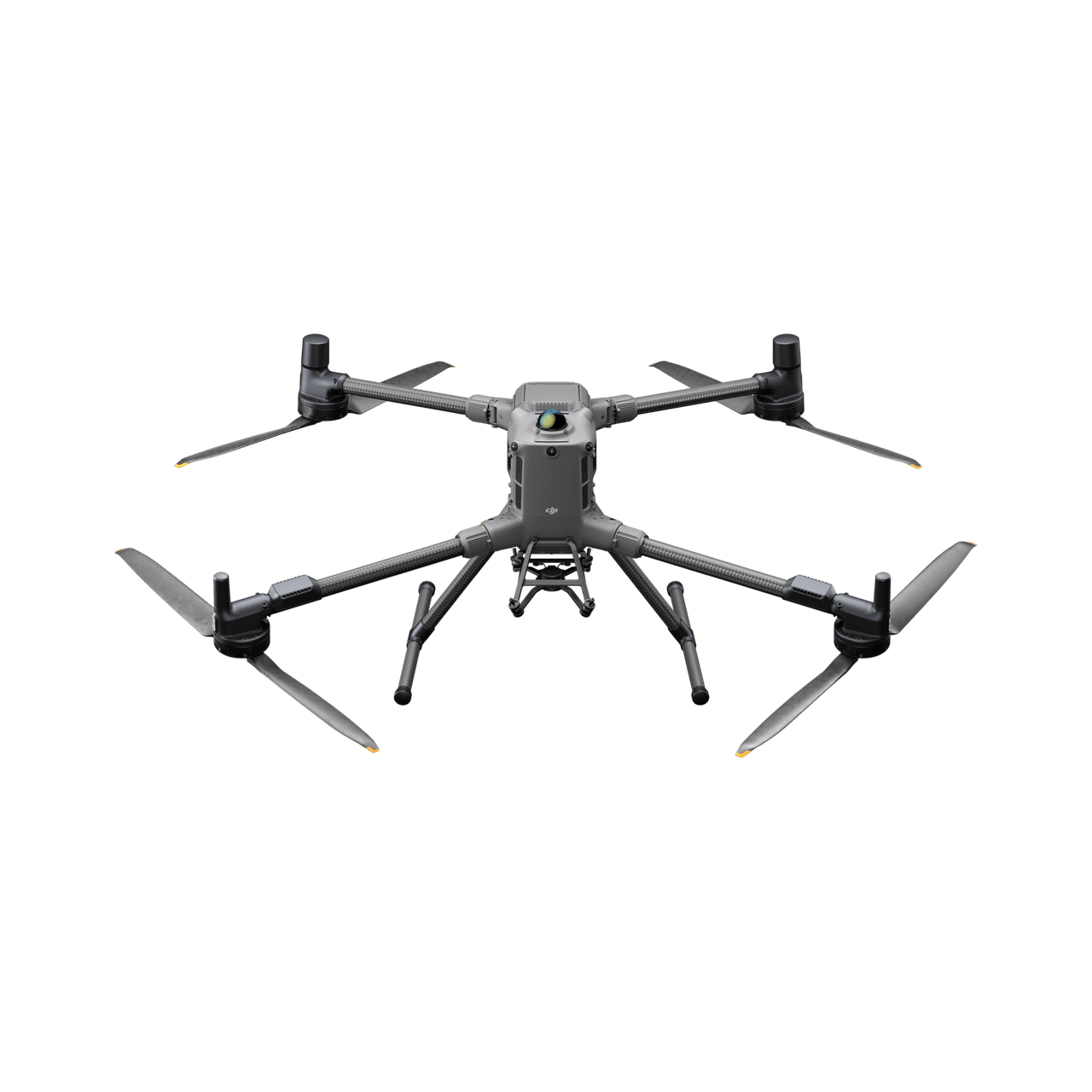
DJI Matrice 400
Enterprise flagship drone platform with 59-minute ultra-long endurance, 6kg payload capacity, integrated LiDAR and mmWave radar obstacle sensing system, designed for long-endurance intelligent missions.
Accessories
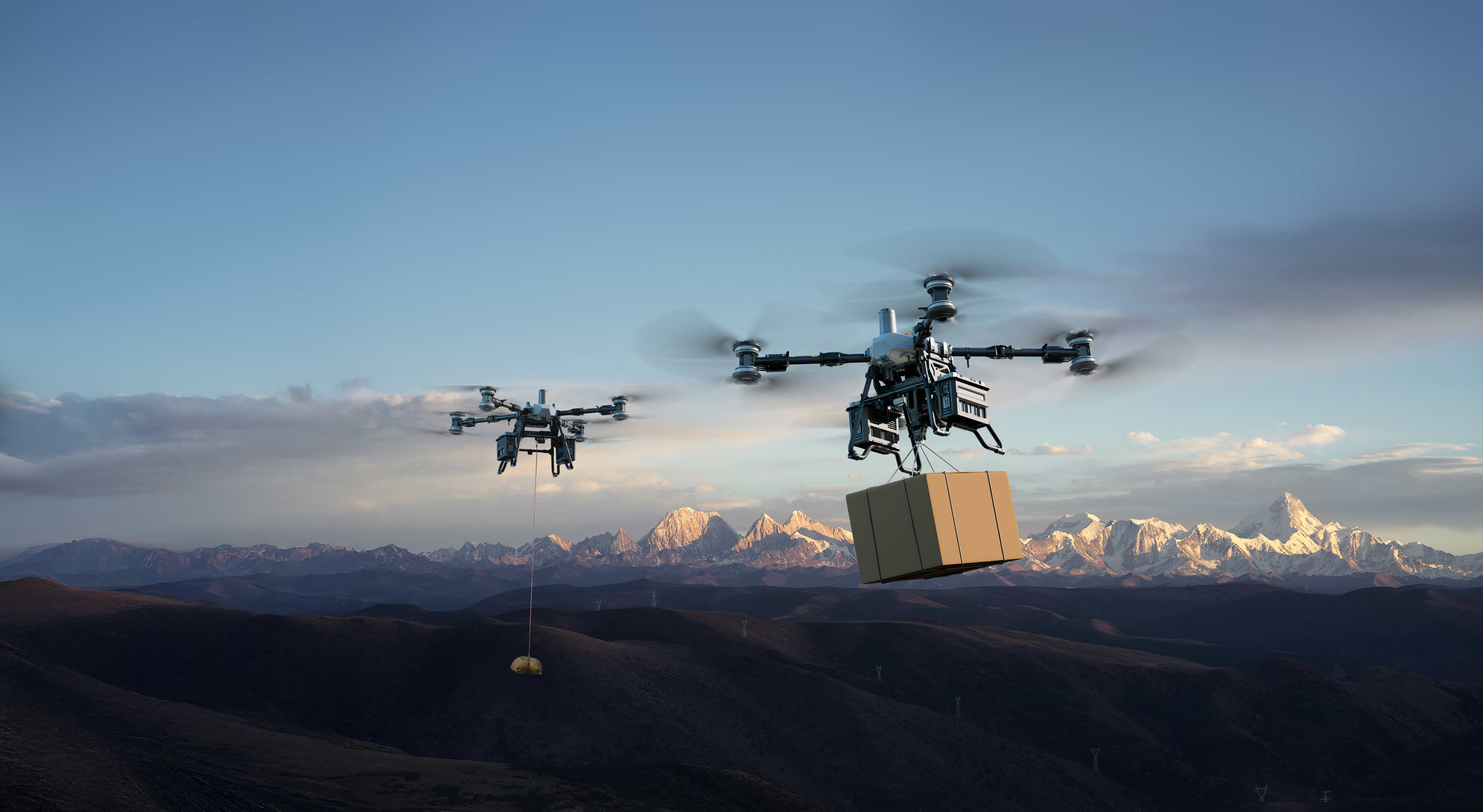
DJI FlyCart 100
Professional logistics transport drone with 85kg max payload, 12km flight distance, equipped with flagship winch system, LiDAR, penta-vision, and mmWave radar, integrated parachute safety system.
Agriculture
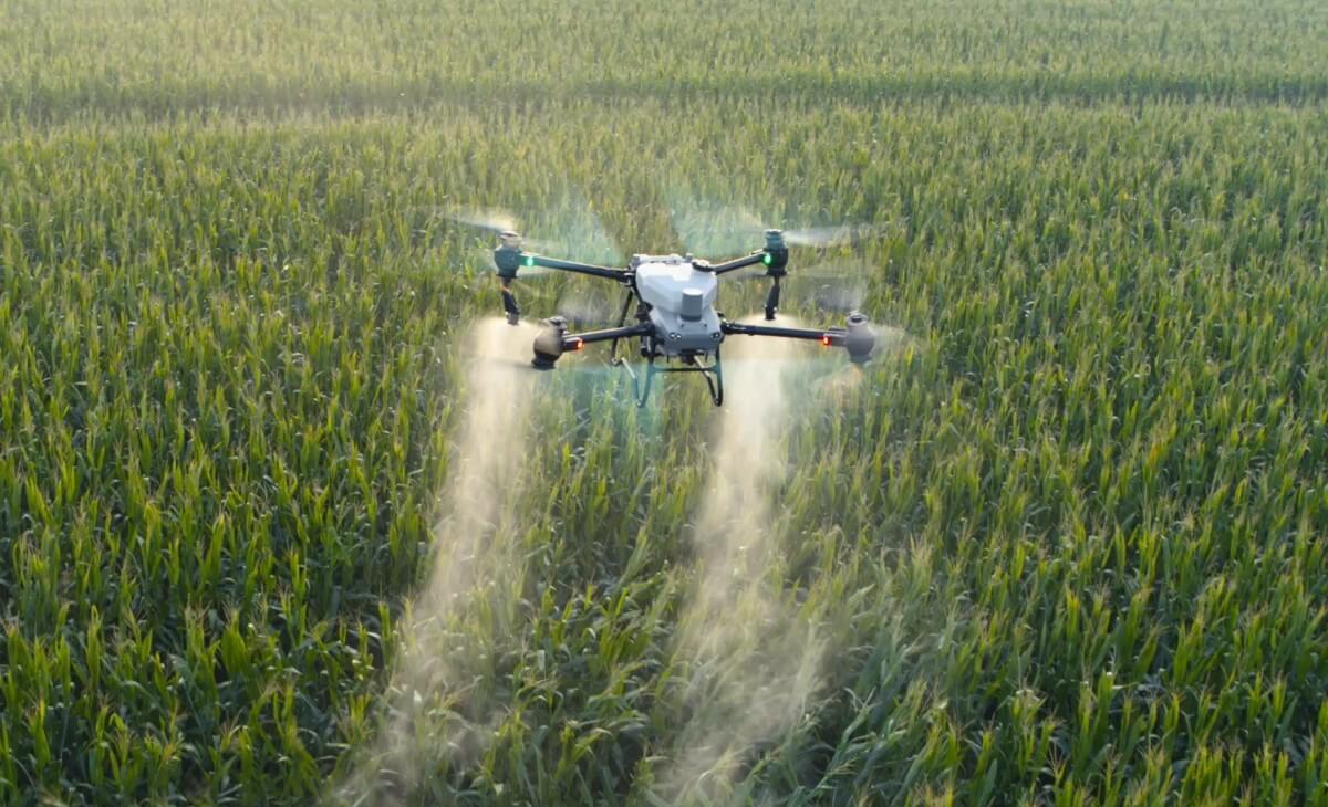
DJI AGRAS T50
Agricultural flagship drone with 40L spray capacity, dual-rotor power system, designed for large-scale farmland operations. Over 300,000 agricultural drones operating globally.
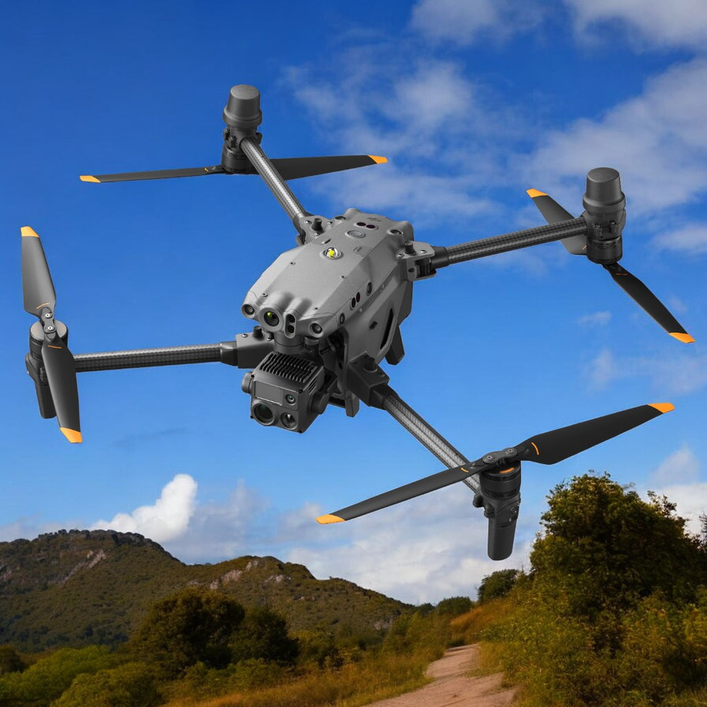
Inspection
DJI Matrice 30T
Compact industrial-grade multifunctional drone with integrated thermal, zoom, and wide-angle cameras. IP55 protection, 41-minute flight time, -20°C to 50°C operating temperature, 1200m laser rangefinder.
Agriculture
DJI Mavic 3M
Agricultural multispectral mapping drone combining RGB camera and multispectral camera, scanning and analyzing crop growth status, providing precise data support for agricultural production management.
Agriculture
DJI AGRAS T100
Large agricultural drone designed for large-scale farmland operations, efficient autonomous operation, providing powerful spraying capabilities and smart operation system.
Agriculture
DJI AGRAS T25P
Compact agricultural drone, smart and efficient, suitable for small to medium-sized farmland operations, providing precise spraying and autonomous flight capabilities.
Surveying
Zenmuse L3
DJI's first long-range high-precision airborne LiDAR system, providing long-distance scanning and high-precision data collection capabilities, compatible with Matrice series platforms, designed for large-scale mapping.
Surveying
Zenmuse L2
LiDAR mapping system providing high-precision data collection capabilities for land surveying projects and terrain modeling, compatible with DJI enterprise drone platforms.